Whether it makes you late for an appointment or results in road rage, traffic is a bane for all drivers. Now a team of researchers in the Massachusetts Institute of Technology‘s department of electrical engineering and computer science believe they’ve hit on a way to analyze traffic, ease congestion, reduce commuter times and even alert drivers to potential engine trouble. They began work on the CarTel project about four years ago and took the next-generation technology out for a spin in January.
The project is funded by the National Science Foundation and the T-Party Project, a research program being conducted jointly by MIT and Quanta Computer.

The researchers have equipped 50 Boston-area cars, including 40 taxis, with onboard computers—each about the size of a cell phone. Each computer has GPS capability and a unique ID number. The computer also is wired to sensors that gather speed, vibration, fuel consumption and other data at various points during a trip. The researchers developed special connectivity software called QuickWiFi that communicates the data to Wi-Fi access points already existing in the Boston area. Typically, it takes about 15 seconds for a computer to connect to a Wi-Fi network, a time lag that would hinder connections because moving cars would pass by in less time. QuickWiFi can connect in 360 milliseconds.
The data ultimately is sent to a Web server at MIT. “We have all these cars on the road, and they’re providing information about what that road looks like now and historically,” says Samuel Madden, an associate professor at MIT who’s leading the CarTel project with Professor Hari Balakrishnan. “We take all this raw information and synchronize it into what traffic delays look like, or are likely to look like, and then feed that data into a route-planning algorithm, which can then provide the shortest route.”
The system can also provide the quickest route. “If you need to get to the airport in 15 minutes, the shortest path might sometimes take 10 minutes but other times take 30 minutes,” Madden says. “This can show you the route that has the best likelihood of getting you there in 15 minutes at any given time.” The system has already cut Balakrishnan’s commute to MIT by 25 percent. The recommended route is a few miles longer than the one suggested by some mapping Web sites, but it’s considerably faster because it completely avoids the major congestion points.
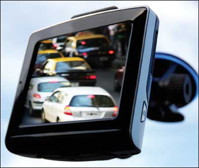
There are no specific efforts to commercialize the CarTel system. “Our goal is to get our technology out to as many people as possible,” Madden says. But the researchers believe traffic information could be delivered to drivers on their mobile phones or via GPS systems in their cars through a real-time dynamic application. Or people could access the information on Web sites when they’re planning their drive, which is what project participants are doing now. “I think both avenues are viable and valuable,” Madden says.
The researchers plan to expand the CarTel project in the near future, getting more cars involved and applying the system to a number of research problems. “We want to look at how traffic on one road affects traffic on another road,” Madden says. “And we’re starting to look at similar things with air-traffic control data.”