
Jun 25, 2015The Port of Aalborg, in North Jutland, Denmark, is using sensor technology to improve traffic management, enabling it to know where vehicles are located in real time, how fast they are moving and, therefore, how traffic is flowing. The port first began working with BLIP Systems in 2011 to develop a solution that would help identify when drivers arrived at certain locations. The first phase of the project focused on documenting traffic flow on internal port roads by capturing Bluetooth transmissions from cell phones and other devices. It next plans to add more sensors to track traffic patterns on external roads that travel between different freight terminals in the area.
The Port of Aalborg has a five-century history of moving cargo into and out of the North Jutland area. The port was first established in 1476 with a few simple piers. Today, the 24-hour port imports and exports commodities such as cement, coal, feedstuffs, fertilizer, grain and oil cargoes, and includes a railroad, a warehouse and a quay. Two additional private ports include a cement factory, Aalborg Portland A/S, and a power station, Vattenfall A/S.
The movement of cargo, naturally, leads to traffic, says Mette Schmidt, the Port of Aalborg's chief technical officer, and that concerns both the port and the community in which it's located. The port sought an automated solution that would not only help relieve traffic congestion by alerting drivers of conditions in real time, but would also provide analytical data for better traffic flow management. "This applies for the number of vessels and goods by ship but also on land, where it is interesting to know the flow of traffic in and out of the port," Schmidt states.
The port and the entire eastern part of the city are experiencing increased traffic in recent years, which means greater congestion, says Christian Bugislaus Carstens, BLIP Systems' marketing manager. Approximately 1,000 vehicles arrive at the port each day to deliver or pick up cargo. This heavy traffic load affects not only the port but also the community, in which about 10,000 vehicles travel daily. This will become increasingly important as a new university hospital is slated for completion in 2020, which will increase traffic in the area around the port by around 13,000 cars per day. Therefore, Schmidt says, providing drivers with the ability to choose alternative routes is important.
The port needed a system to better identify where vehicles move in real time, and to then disseminate that information to other drivers, thereby prompting them to select alternate routes and thus reduce congestion.
The port tried traffic counters, as well as employing students for ad-hoc traffic counts. In addition, port management looked into installing cameras. However, Schmidt says, none of these options provided what the port needed: a system for displaying alerts to drivers in the port area, or sufficient data analytics for future traffic planning.
Cameras could collect license plate numbers and other visual identifiers, in order to track which individuals are at which locations. While a camera system provides the greatest volume of data, it could be expensive since multiple cameras would need to be installed at each location, to capture all angles of a passing vehicle. What's more, snow, fog or a build-up of dirt on a camera lens could obscure images, and efforts would need to be made to encrypt and secure captured license plate numbers to protect privacy.
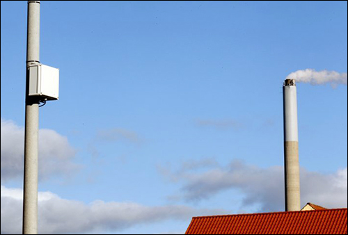
In 2011, BLIP Systems installed the first of what are now 31 Bluetooth sensors on existing poles along the port's internal routes, as well as at the port and on highways leading to the port, in order to capture transmissions from phones and tablets or other hands-free devices installed in trucks and cars. The read range is set to the maximum range, Carstens says—up to 300 meters (984 feet) in each direction.
There is no need for an app to run on the device in the vehicle; it just needs to have its Bluetooth radio enabled. The BLIP system collects the MAC address, transmitted via Bluetooth, from the device. The sensors then encrypt and time-stamp the numbers and forward them to the server, hosted by BLIP Systems, where the data is filtered and analyzed by the system's software. By combining the data collected from all sensors, the solution generates an accurate picture regarding each road user, such as travel times, dwell times and movement patterns.
That information is then used to create a heat map showing greatest traffic slowdowns or congestion, and signage at the facilities automatically displays warnings to other drivers entering the area. There are four main roads from the port, with a single sign at the port exit indicating which road has the least traffic, based on the number of Bluetooth devices it detected and how quickly they were moving. This sign-based data is used by truck drivers leaving the port, as well as by port employees looking for the fastest way home.
"The information of the monitoring system," Carstens explains, "is used to inform and warn city traffic engineers about queues and delays, identify problem areas, evaluate and calibrate traffic signals, provide information on the capacity of existing roads, and detect changes in traffic pattern."
During the next phase of the deployment, the port would like to expand the solution's use to a larger geographic area, so as to analyze traffic flow between the various transportation hubs. "The solution would allow us to monitor strange [unusual] traffic and freight patterns," Schmidt says. "The good questions often lead to new ideas, but without data, you will have no knowledge."
With the information the port has gathered thus far, along with an analysis of that data, it expects to create congestion patterns that might be predictable.
"At this time, we only have minor traffic problems, but when the new university hospital is finished in a couple of years, a doubling of the traffic is expected. This will affect the main corridor out of the port," Schmidt says. "So it is important to have before-and-now data in order to make a future prognosis. With the solution from BLIP Systems, we are able to do just that."
